Physical Geography

WHAT IS PHYSICAL GEOGRAPHY?
Physical geographers study the natural features and processes of our planet, which impact every part of every society - including communities, economies, public health, and ecosystems. Physical geography includes the study of geomorphology, human land use, vegetation, climatology, landforms, disturbances, spatial distribution of organisms, processes, and more.
Texas A&M’s physical geographers are working in the following research areas.
ANTARCTICA
Our research applies state-of-the-art monitoring tools to better our understanding of the spatial and temporal patterns of localized human impacts in cold regions, using Antarctica as an exemplar study site. We’re currently focused on localized human impacts in the terrestrial and marine environments adjacent to McMurdo Station - the largest scientific station on the continent, where have been working since 1999.
BIOGEOGRAPHY
Biogeography includes vegetation dynamics and plant geography to determine how spatial patterns in disturbance regimes and vegetation characteristics are generated in forest and marsh environments. Biogeography concerns the spatial distribution of organisms over Earth's surface and the processes responsible for those distributional patterns. Texas A&M biogeographers’ research focuses on how climate, landforms, disturbances, human land use, and biotic factors interact to influence vegetation patterns. The geographical scope of our work includes the United States (Rocky Mountains, Cascades, Appalachian Mountains, Gulf Coastal Plain, Alaska) and northern Europe (Sweden, Denmark).
CLIMATOLOGY
Climatology investigates climate change through synoptic climatology and permafrost dynamics, drought and hydroclimatology, and the use of deep-sea and tropical corals to examine past-climate systems. Our Climatology Group’s research includes paleoclimatology, synoptic climatology, hydroclimatology, water resources, and the global hydrologic cycle. We also investigate surface-atmosphere interactions over the land and oceans, such as land cover/land use change, ocean-atmosphere interactions and teleconnections, deep-sea and tropical corals, and a special focus on Arctic climate change.
CRYOSPHERE
The Earth's cold regions, called the cryosphere, are a very important part of the planet. Our research group studies the cryosphere using Geographic Information Science (GIS) tools and techniques. Our current research focuses on the following areas:
- Algorithm development for the remote sensing of snow
- Monitoring the retreat of tropical glaciers from satellites
- Environmental monitoring of human activities in Antarctica
GEOMORPHOLOGY
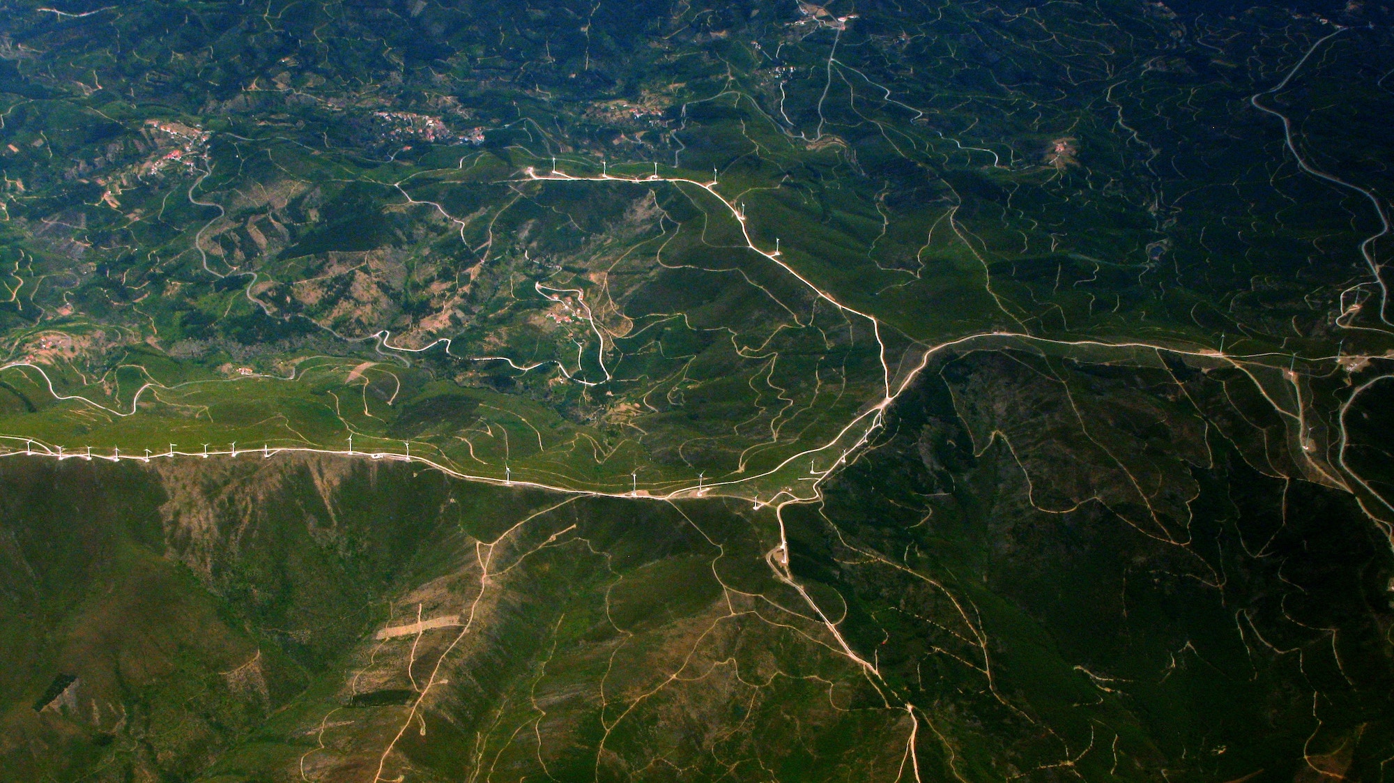
Geomorphology examines earth surface processes and landforms in fluvial, coastal, desert, and Quaternary environments, with a focus on the response and recovery of those systems to extreme events and the role that anthropogenic forcing may lead to unprecedented landscape change in the future. At Texas A&M, the focus of this research is on aeolian, coastal, desert, fluvial, and glacial geomorphology. The geographic scope of our work is the United States (along the Texas coast, California, Big Bend National Park) and Europe (Italy and Portugal).
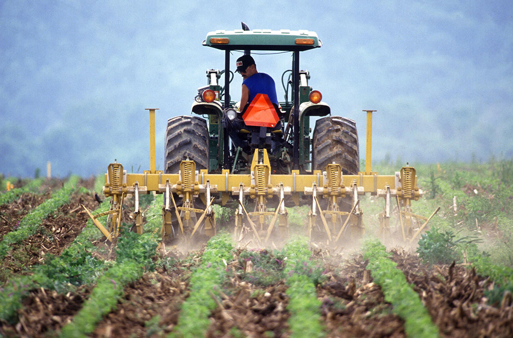
Soil Holds Potential to Slow Global Warming, Multi-University Research Team Finds
Could soil holds potential to slow global warming? Meet the Texas A&M Geographer and multi-university research team who found out.